Plan a ride along bridleways and the riding network, then ride it with spoken directions while your phone stays in your pocket. Plan een rit over ruiterpaden en het ruiternetwerk, en rijd hem met gesproken aanwijzingen terwijl je telefoon in je zak blijft.
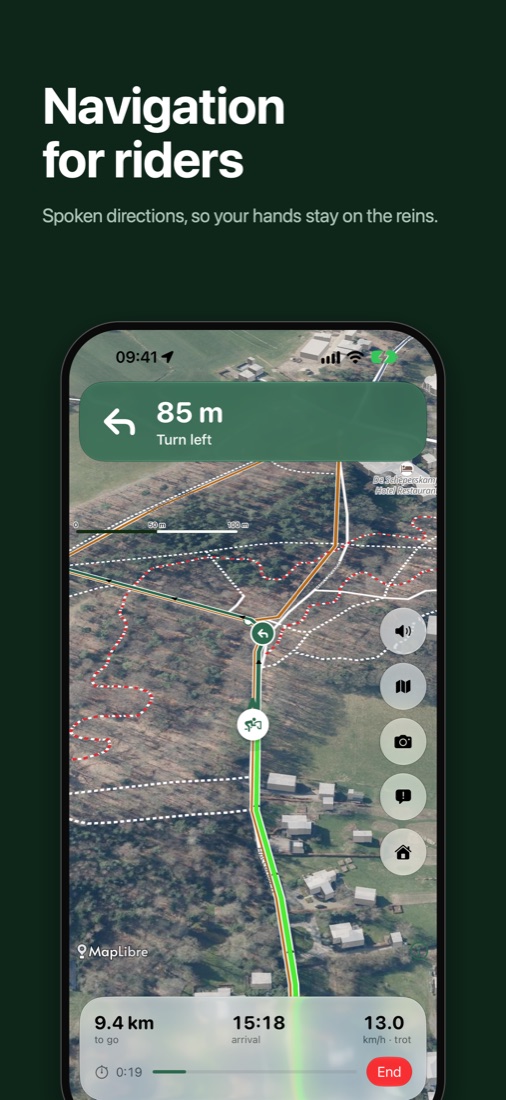
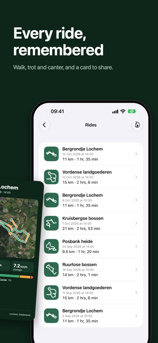
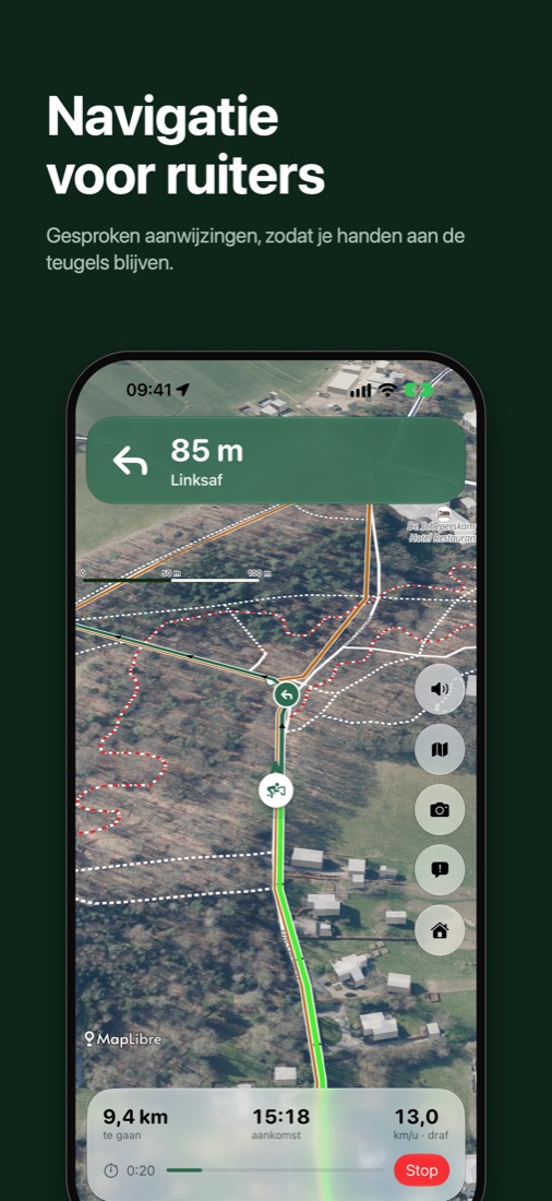
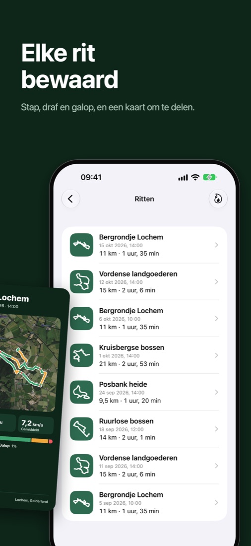
Every turn announced in Dutch or English, with a warning and the way back when you leave the route.Elke afslag aangekondigd in het Nederlands of Engels, met een waarschuwing en de weg terug als je van de route raakt.
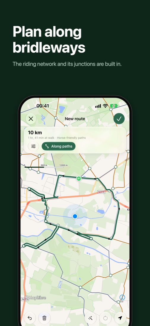
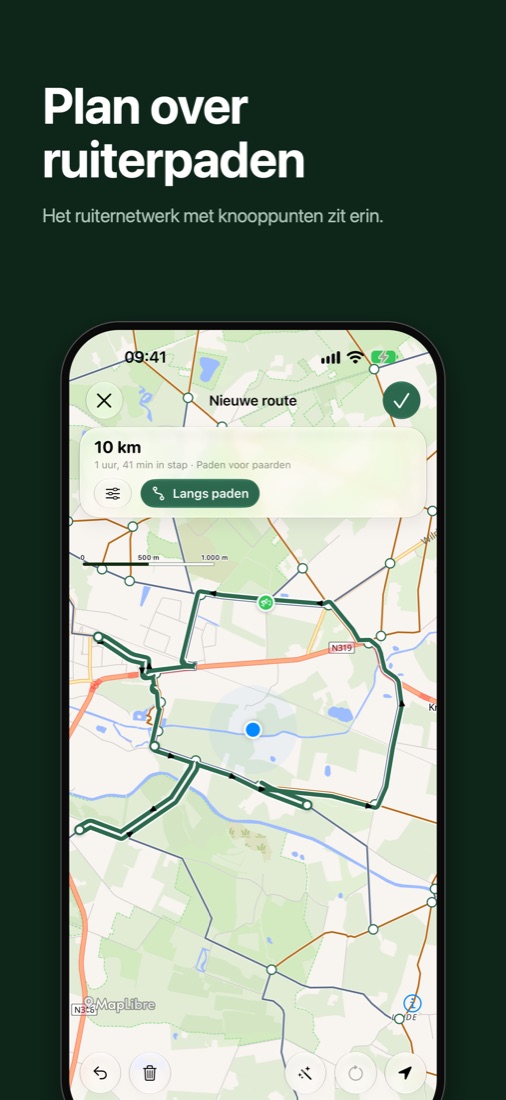
Bridleways with numbered junctions, unpaved and paved, plus trailer parking and picnic spots, all offline.Ruiterpaden met genummerde knooppunten, onverhard en verhard, plus trailerparkeerplaatsen en picknickplekken, ook offline.
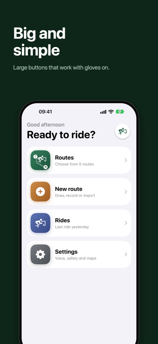
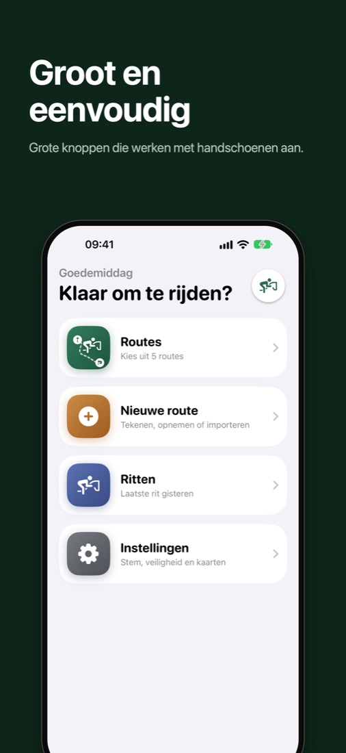
Tap the map to plan along horse-friendly paths, record a route as you ride, or open a GPX file.Tik op de kaart om over paardvriendelijke paden te plannen, neem een route op tijdens het rijden, of open een GPX-bestand.
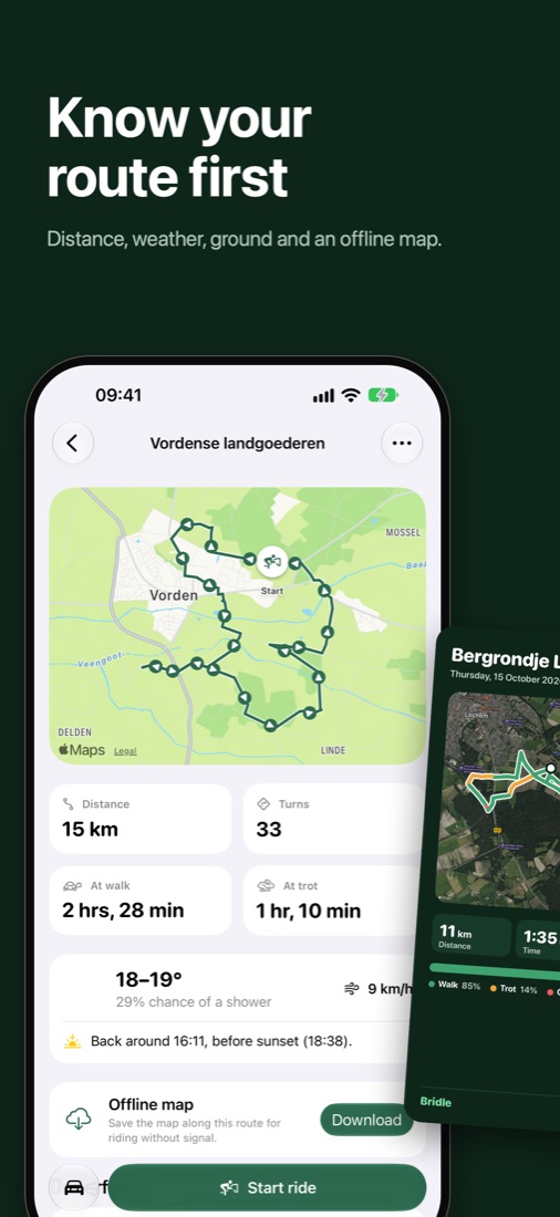
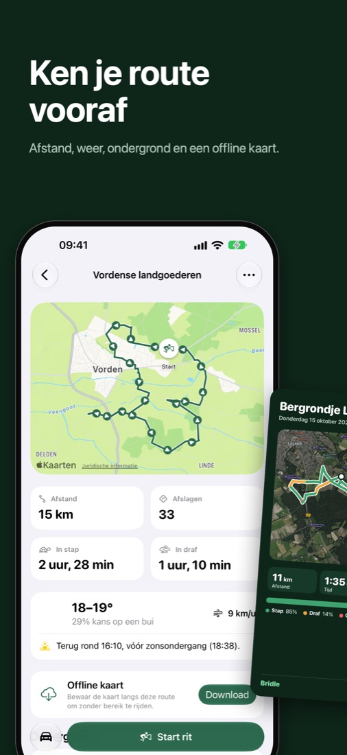
See the weather for your ride and how much of the route is sand, grass or tarmac.Zie het weer voor je rit en hoeveel van de route zand, gras of asfalt is.
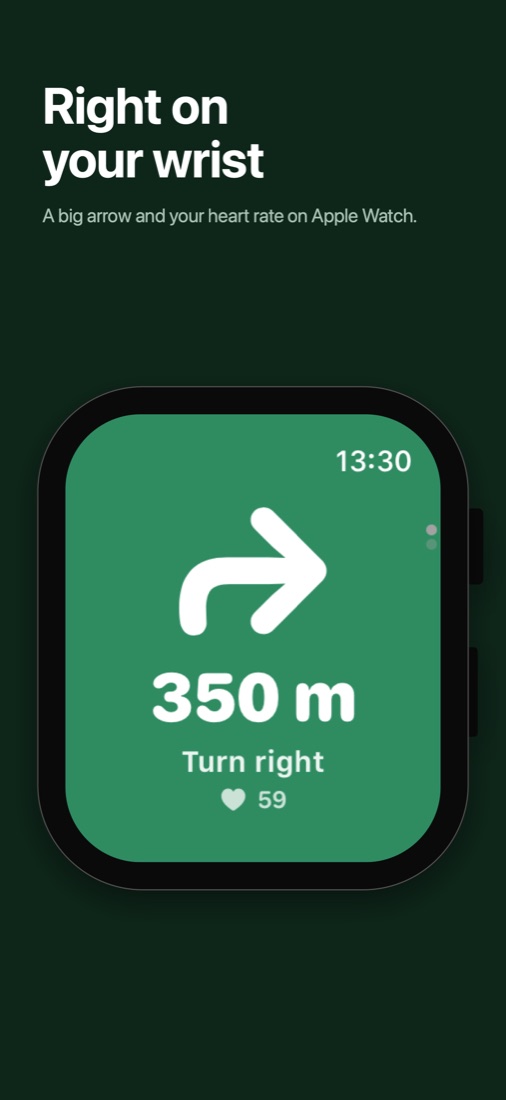
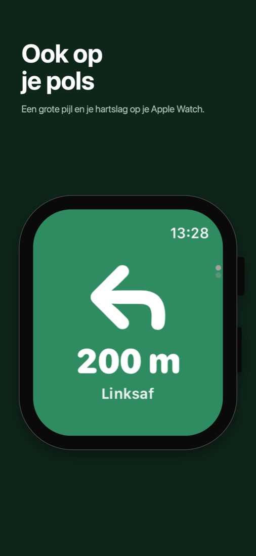
A big arrow and your heart rate on your wrist. Rides are saved as workouts in Health.Een grote pijl en je hartslag op je pols. Ritten worden als training bewaard in Gezondheid.
Optional fall detection helps you reach your emergency contact, and the way home is one tap away.Valdetectie helpt je je noodcontact te bereiken, en de weg naar huis is één tik.
 Bridle